Datei:Sweden Östergötland location map.svg

Größe der PNG-Vorschau dieser SVG-Datei: 628 × 599 pixel. Ööder apliasangen: 252 × 240 pixel | 503 × 480 pixel | 805 × 768 pixel | 1.073 × 1.024 pixel | 2.146 × 2.048 pixel | 1.093 × 1.043 pixel.
Originaal datei (SVG-datei, grate: 1.093 × 1.043 pixel, dateigrate: 272 KB)
Beskriiwang
| Beskriiwang |
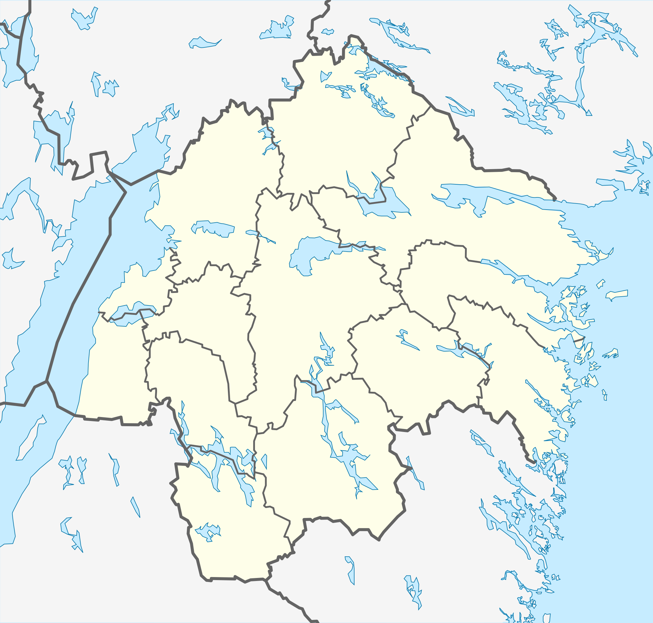
English: Location map of Östergötland County in Sweden
Equirectangular projection, N/S stretching 190 %. Geographic limits of the map:
Deutsch: Positionskarte von Östergötlands län in Schweden
Quadratische Plattkarte, N-S-Streckung 190 %. Geographische Begrenzung der Karte:
|
| Dootem | |
| Kwel | Aanj werk |
| Skriiwer of Konstler | Erik Frohne |
Lisens
Ik hual a rochten üüb detdiar werk, an du det frei oner a lisensen:

|
Dü könst det datei kopiare, widjerdu of feranre efter a reegeln faan't GNU Free Documentation License, wersion 1.2 of leeder faan't Free Software Foundation; diar as niks ünferanerlik an nään tekst üüb a föör- of bääftsidj. Dü könst di lisens tekst efterlees bi GNU Free Documentation License. |
Diese Datei ist unter der Creative-Commons-Lizenz „Namensnennung 3.0 nicht portiert“ lizenziert.
- Dü mutst detdiar werk
- widjer du – detdiar werk kopiare an widjer du
- nei tuupstel – det werk feranre
- Oner jodiar konditjuunen:
- Nööm nääm – Dü skel di nööm faan di skriiwer of konstler nääm. Oober ei so, dat at so ütjsjocht, üs wan hi din werk gud fanjt.
Schük di ian faan jodiar lisensen ütj.
Datei wersioonen
Klike üüb en tidjponkt, am detdiar wersion uuntulukin.
| Dootem/Tidj | Föörskaubil | Miaten | Brüker | Komentaar | |
|---|---|---|---|---|---|
| aktuel | 12:31, 27. Jan. 2009 | | 1.093 × 1.043 (272 KB) | Erik Frohne | Changed color of Visingsö (the isle in the middle of the Vättern) |
| 10:54, 27. Jan. 2009 |  | 1.093 × 1.043 (272 KB) | Erik Frohne | Adjusted waterline | |
| 15:04, 25. Jan. 2009 |  | 1.093 × 1.043 (272 KB) | Erik Frohne | {{Information |Description={{en|1=Location map of Östergötland in Sweden Equirectangular projection, N/S stretching 190 %. Geographic limits of the map: * N: 59.10° N * S: 57.60° N * W: 14.20° E * E: 17.20° E }} {{de|1=Positionskarte von Östergö |
Hü det datei brükt woort
Jodiar 10 sidjen brük detdiar datei:
Globaal brük faan datein
Jodiar ööder Wikis brük detdiar datei:
- Brük üüb ar.wikipedia.org
- Brük üüb bg.wikipedia.org
- Brük üüb ceb.wikipedia.org
- Brük üüb da.wikipedia.org
- Brük üüb de.wikipedia.org
Muar globaal brük faan detdiar datei.