Datei:Map of Kentucky highlighting Madison County.svg

Größe der PNG-Vorschau dieser SVG-Datei: 800 × 345 pixel. Ööder apliasangen: 320 × 138 pixel | 640 × 276 pixel | 1.024 × 441 pixel | 1.280 × 551 pixel | 2.560 × 1.103 pixel | 6.770 × 2.916 pixel.
Originaal datei (SVG-datei, grate: 6.770 × 2.916 pixel, dateigrate: 127 KB)
Beskriiwang
| Beskriiwang |
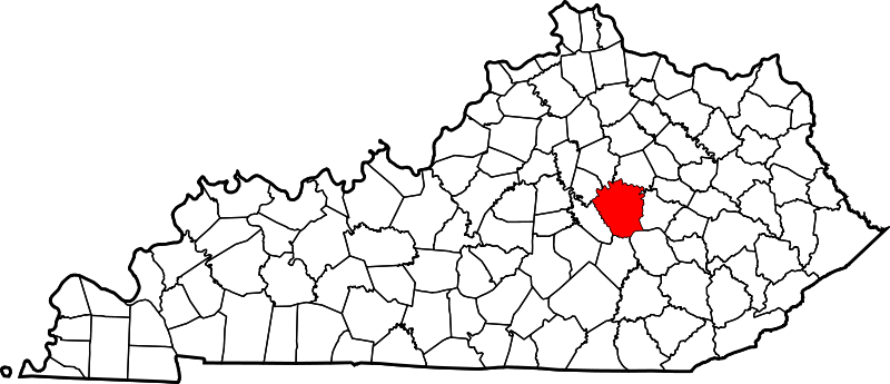
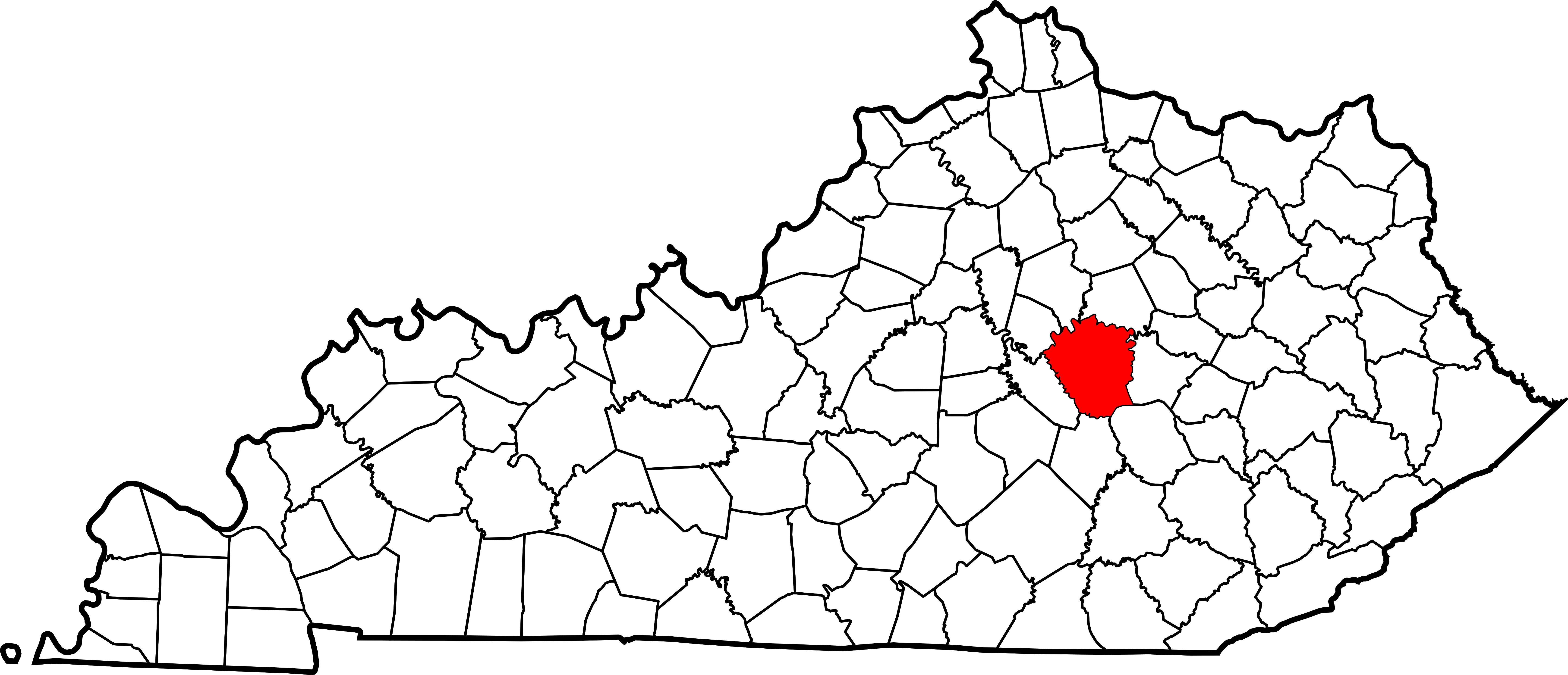
English: This is a locator map showing Madison County in Kentucky. For more information, see Commons:United States county locator maps. |
| Dootem | |
| Kwel |
Aanj werk: English: The maps use data from nationalatlas.gov, specifically countyp020.tar.gz on the Raw Data Download page. The maps also use state outline data from statesp020.tar.gz. The Florida maps use hydrogm020.tar.gz to display Lake Okeechobee. |
| Skriiwer of Konstler | David Benbennick |
Lisens
| Ik haa a rochten üüb detdiar datei an du det frei üs public domain (för arken frei). Det täält uun arke lun. Uun enkelt lunen mei det ei mögelk wees. Wan det so as: Arken koon detdiar werk brük för wat hi wal, wan det uun sin lun rochtelk mögelk as. |
Datei wersioonen
Klike üüb en tidjponkt, am detdiar wersion uuntulukin.
| Dootem/Tidj | Föörskaubil | Miaten | Brüker | Komentaar | |
|---|---|---|---|---|---|
| aktuel | 14:23, 12. Feb. 2006 | | 6.770 × 2.916 (127 KB) | David Benbennick | {{subst:User:Dbenbenn/clm|county=Madison County|state=Kentucky}} |
Hü det datei brükt woort
Detdiar sidj brükt detdiar datei:
Globaal brük faan datein
Jodiar ööder Wikis brük detdiar datei:
- Brük üüb ar.wikipedia.org
- Brük üüb bg.wikipedia.org
- Brük üüb bpy.wikipedia.org
- Brük üüb cdo.wikipedia.org
- Brük üüb ceb.wikipedia.org
- Brük üüb ce.wikipedia.org
- Brük üüb cs.wikipedia.org
- Brük üüb cy.wikipedia.org
- Brük üüb de.wikipedia.org
- Brük üüb en.wikipedia.org
- Madison County, Kentucky
- Berea, Kentucky
- Richmond, Kentucky
- Boonesborough, Kentucky
- List of counties in Kentucky
- Silver Creek (Kentucky)
- Waco, Kentucky
- Wilgreen Lake
- Template:Madison County, Kentucky
- Valley View, Kentucky
- Bybee, Kentucky
- Bighill, Kentucky
- Kirksville, Kentucky
- User:Nyttend/County templates/KY/2
- Round Hill, Kentucky
- National Register of Historic Places listings in Madison County, Kentucky
- College Hill, Kentucky
- Category:Populated places in Madison County, Kentucky
- Buggytown, Kentucky
- Moberly, Kentucky
- Baldwin, Kentucky
- Ruthton, Kentucky
- Speedwell, Kentucky
- Template:MadisonCountyKY-geo-stub
- Dreaming Creek (Kentucky)
- Million, Kentucky
- Bobtown, Kentucky
- Kingston, Kentucky
- Redhouse, Kentucky
- Newby, Kentucky
- Union City, Kentucky
- Brük üüb es.wikipedia.org
Muar globaal brük faan detdiar datei.